Bedford - Town of Cyclists
Bedford has always been a cycling town and the 2011 census showed that more than 5% of residents travelled to work by bicycle. Although not up at the levels of Cambridge or Oxford it is nevertheless in the top quarter for cycling in the United Kingdom. This is in some measure due to the town's relatively flat and compact area with all parts including Kempston and the suburbs of Biddenham, Bromham, Clapham and Elstow being within a 15 minute cycle of the town centre.
Bedford Cycle Network
The idea for an urban cycle network came from a 1952 town planning report - Bedford by the River - which resulted in the construction of four cycle tracks to improve cross town communications for cyclists on the west and south of the town to give an embryonic network of 12km of off-road routes. With the increasing use of the private motor car and the resultant conflict between motorists and cyclists and pedestrians the network was significantly expanded during the 1970s and 1980s and has been continuously increased to the present day to give a cycle route network of more than 160km on off-road paths/tracks, on-road along quiet roads as well as cycle lanes along some of the busier roads. A brief history of the Bedford cycle network published in 2012 to coincide with CCNB's 20th Anniversary can be seen here.
Experienced, confident cyclists have always had the whole road network at their disposal but for most other cyclists - beginners, children and those less confident or agile - and for residents who would like to start to cycle, the use of the network enables a cyclist to travel safely and quickly from all residential area to all destinations in the town and to the countryside. A route exists within 200 metres of most dwellings in the Bedford and Kemspton urban area.
To encourage more residents to cycle CCNB in 2001 created a Bedford and Kempston Cycle Map to show where the network existed. This has gone from strength to strength with 35,000 copies sold or distributed over seven printed editions, the last one in January 2017. Since then the on-line version only has been regularly updated. The latest 2022 11th Edition can be seen here.
Bedford is very fortunate that there are numerous banks of cycle parking stands with more than 3500 spaces throughout the urban area. In the town centre area there are 520 public cycle parking spaces of the 'Sheffield' type while at Bedford Midland Railway Station there are a further 630 spaces for commuters, made up of 236 of the 'Sheffield' type and 394 two-tier types. A map of the cycle parking spaces in the town centre area can be seen here.
Numerous housing developments in progress in and around the town, including the regeneration of parts of the town centre itself (Great Denham, Kempston West, Wixams, New Cardington, Riverside North) will see the addition of further cycle infrastructure over the next few years.
A desk study of the cycle network in 2003 resulted in the identification of 13 strategic cycle routes in the town. This has now been updated to create a network of 27 radial routes (six routes for confident cyclists - mostly on main roads, four on medium busy roads - and 17 on a mixture of off-road paths and tracks and quiet residential roads), focused on the town centre, with an inner (Avenue) and outer Green Wheel) orbital route and National Cycle Network Route 51. The routes can be seen on a 'tube type' map and the route names here.
Signage
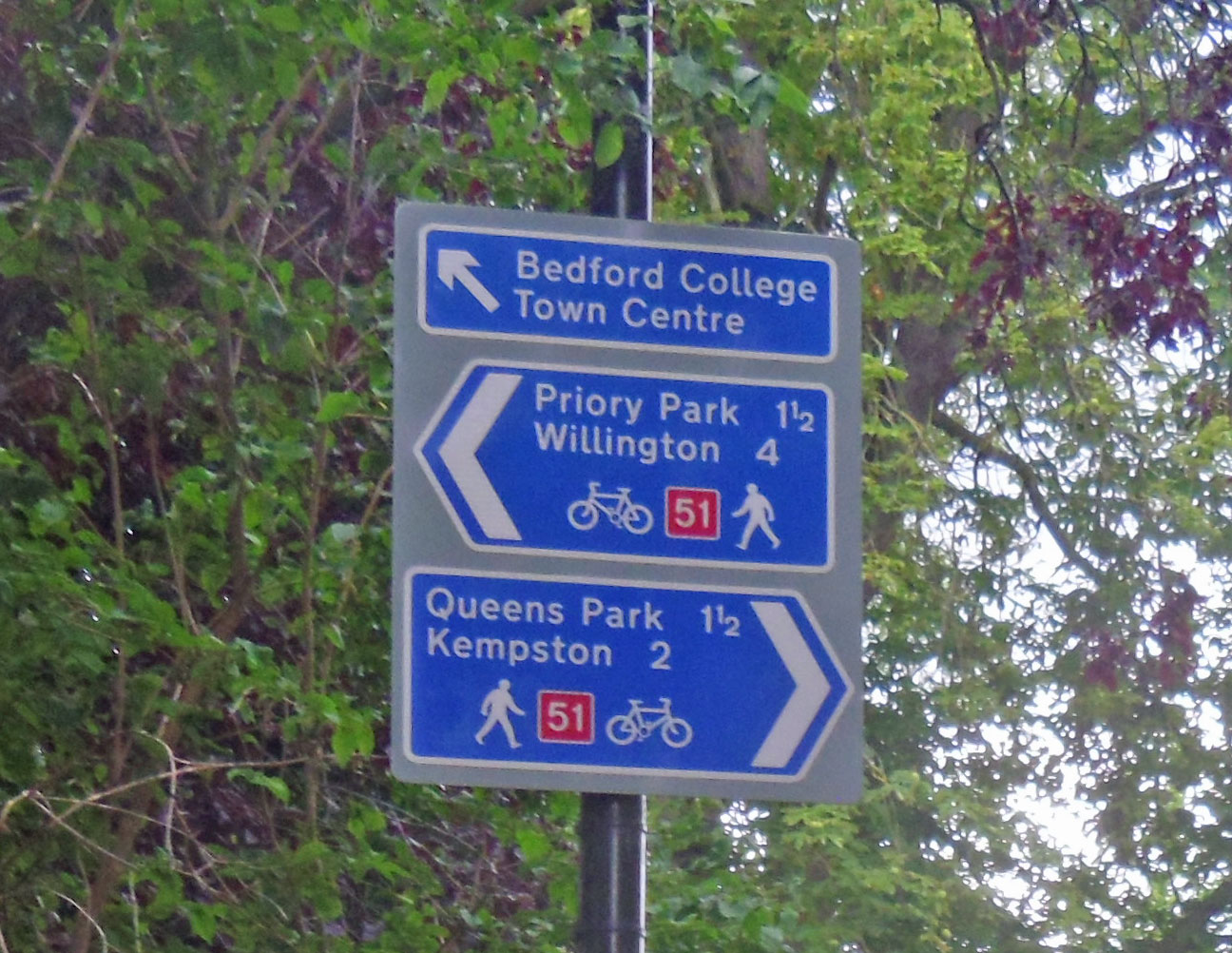
Over the years about half the network has been signed at each juntion with the routes destination with some of latter signs also showing the distance in miles.
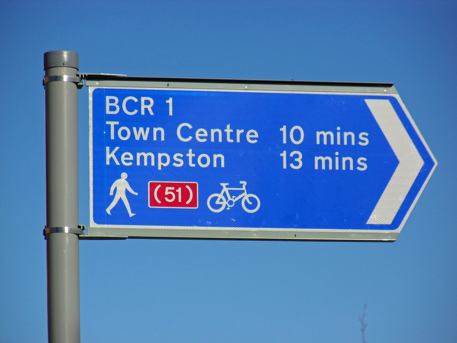
From 2017 when each route was given a number there was a start to head each sign by the abbreviation BCR followed by the route number and the distance to a destination quoted as a time in minutes based on a typical door to door cycling speed of 9.3 mile per hour (15km/h) (eg BCR 1 - Town Centre 10 mins).
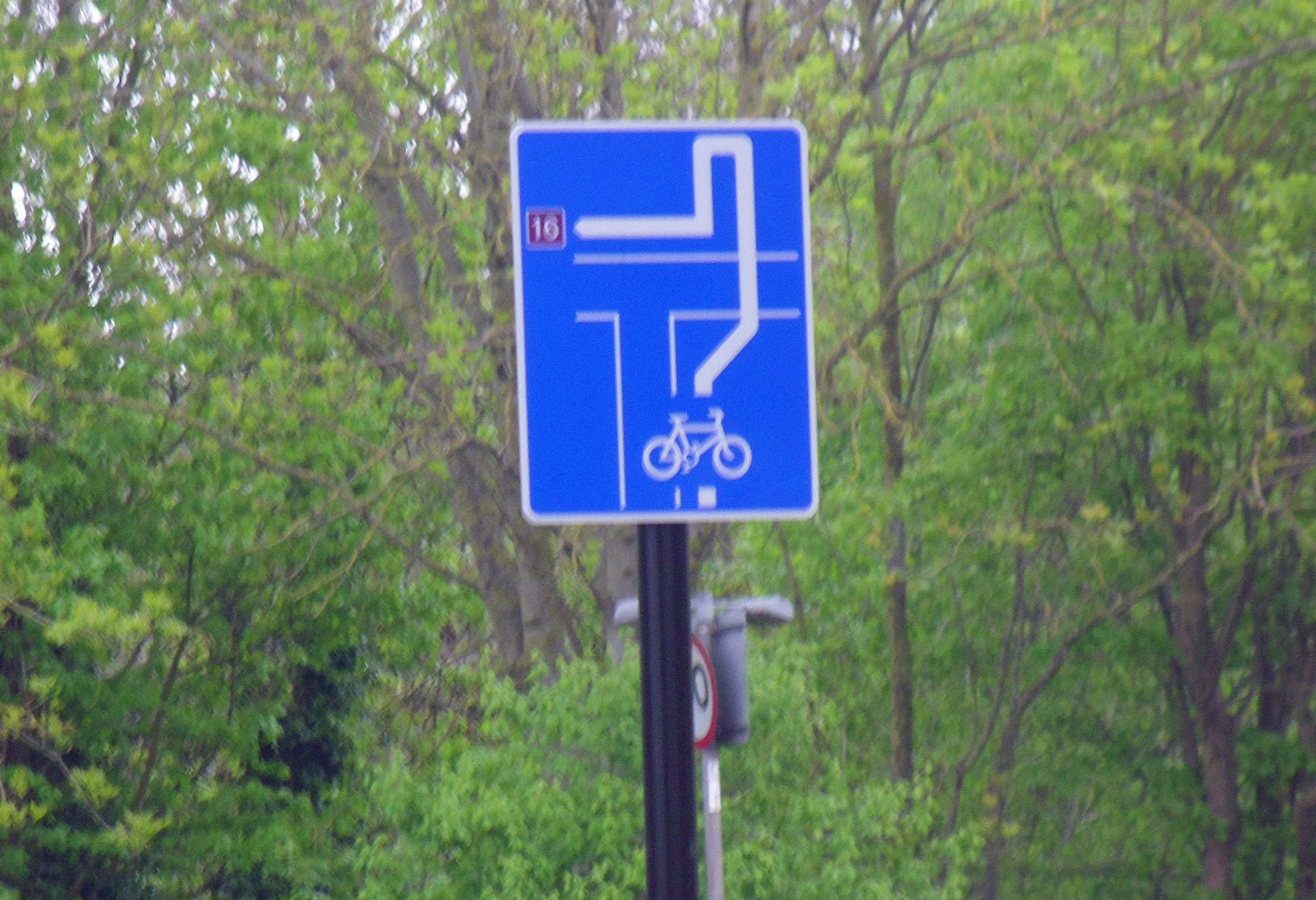
In 2020 the Borough was awarded £1 million from the Government's Town Deal Accelerator Fund for capital funding to help quicken the pace of recovery within their town from the Covid-19 pandemic of which £380,000 was to be spent on signing the cycle network and enhancing secure cycle parking in the central area (a secure shelter for 28 bikes was opened in June 2021 in Harpur Square south). The money had to be spent by 31 March 2022. During 2021 signing has proceeded across the network but this time using only full description signs at each end with only repeater route number small signs at all junctions and in between. The locations given were in all cases just the ward name.


Pre 2017 Signage
2017 Signage
2021 Signage
